EERIE has recently published a table with technical specifications of the climate models that are being used in the project. These parameters, especially the resolution, represent a step towards a new generation of more accurate climate models. Making this data public is important so the community knows where the project simulations will stand before the results are made public.
Here is a breakdown of the meaning of each of the fields in the table:
- Model name: As you have probably guessed, this refers to the name of the model. It’s often a composition of the institution that leads its development and sometimes another acronym (e.g. ECMWF-IFS).
- Model components: These usually refer to the atmosphere and to the ocean components of the model (e.g. ICON-A ICON-O).
- Atmos dynamical scheme (grid): This is the methodology used to discretize the atmosphere. Grid-based models divide the atmosphere in gridpoints - like bricks. Spectral models use harmonics (waves) instead. These harmonics can be truncated following different geometries, like icosahedral or octahedral.
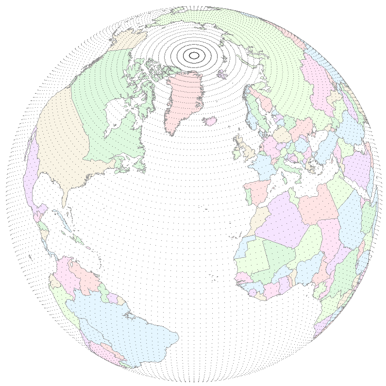
- Atmos grid name: This is the name of the grid used by the atmosphere component of the model. It is given as NX or TX. It is closely related to the spatial resolution of the model. In case of grid-based models, X represents the number of points between the pole and the equator, while in case of spectral models it represents the highest wave number, which is equivalent to the number of points between the pole and the equator minus one. See this link and this other link for more information.
The gridpoints of a N62 grid (NCEP). Image source.
- Atmos mesh spacing 0N: The space between gridpoints at 0º latitude North.
- Atmos mesh spacing 50N: The space between gridpoints at 50º latitude North.
- Atmos model levels (top): Number of vertical levels used by the atmosphere component of the model, together with the height of the highest level in distance (km) or pressure units (hectopascals).
- Ocean grid name: Name of the grid used by the ocean component of the model. These grids are, in general, more complex and irregular than the atmosphere grids.
- Ocean nominal res (km): Nominal resolution of the ocean component of the model.
- Ocean levels: Number of vertical levels used by the ocean component of the model.
- Simulations (phase 1): Simulations to be produced in the phase 1 of EERIE. Their progress can be tracked here.


